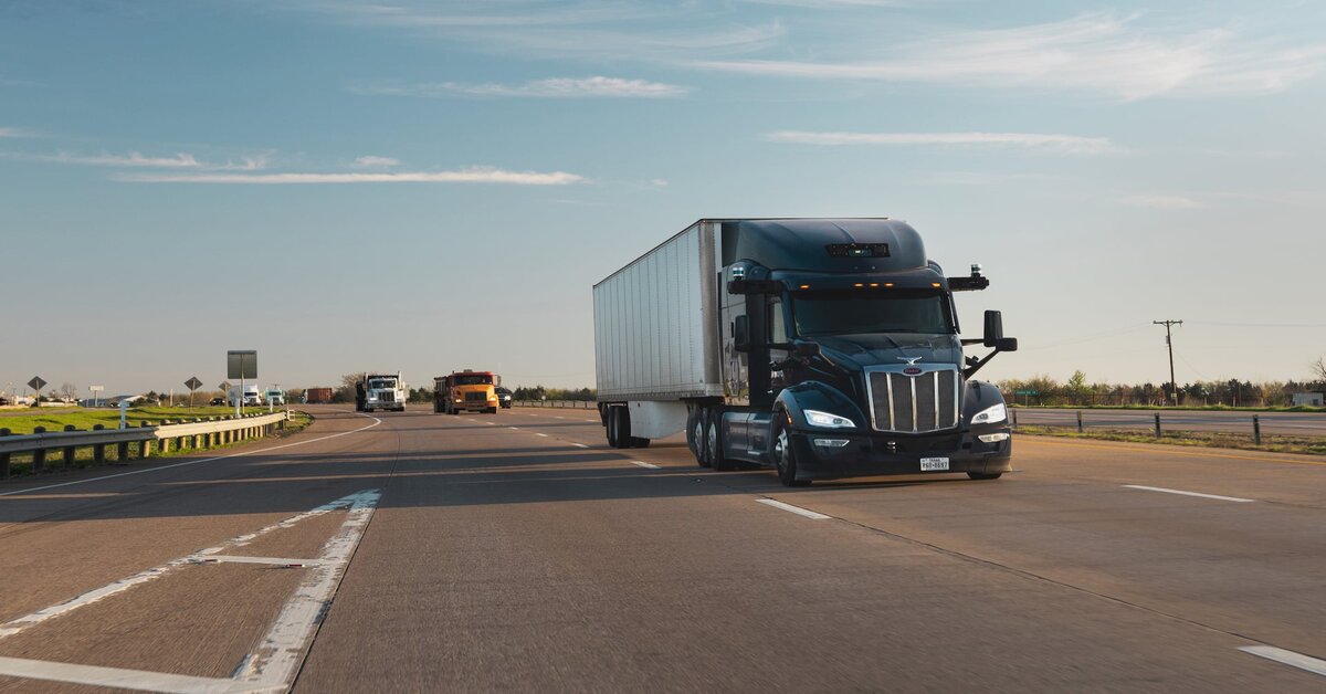
Aurora Innovation, in collaboration with the University of Toronto, has recently made a significant contribution to the field of autonomous systems by releasing the Aurora Multi-Sensor Dataset. This dataset, which includes localization ground truth, is a comprehensive collection of multi-sensor data and offers a range of valuable information. It surpasses existing publicly available localization datasets in size, being 1-2 times larger, and provides researchers with an opportunity to develop and evaluate large-scale, long-term approaches to autonomous vehicle localization.
The Aurora Multi-Sensor Dataset is unique in its richness and diversity. Alongside the localization ground truth, it contains extensive metadata, including semantic segmentation and various weather patterns such as rain, snow, overcast cloud, and sunshine. Furthermore, the dataset incorporates different times of day and varying traffic conditions, providing a comprehensive representation of real-world scenarios. This diversity of data enables researchers to explore a wide range of scenarios and develop robust and adaptable autonomous systems.
One of the notable aspects of the Aurora Multi-Sensor Dataset is its size. It is significantly larger than other publicly available datasets for localization purposes, making it a valuable resource for researchers. With this dataset, researchers can train and evaluate their algorithms on a larger and more diverse set of data, leading to more accurate and reliable autonomous systems.
The applications of the Aurora Multi-Sensor Dataset extend beyond localization. Its size and diversity make it suitable for other research areas as well. For instance, researchers can leverage the dataset for tasks such as 3D reconstruction, HD map construction, and map compression. This versatility opens up new avenues for innovation and advancement in the autonomous systems field.
The Aurora Multi-Sensor Dataset originated from data captured by the Uber Advanced Technologies Group (ATG) in the metropolitan area of Pittsburgh, USA. The data collection period extended from January 2017 to February 2018. Aurora acquired the dataset in January 2021, and it has since been made available for non-commercial academic use. The dataset includes data from a 64-beam Velodyne HDL-64E lidar sensor, seven cameras with a resolution of 1920×1200 pixels, a forward-facing stereo pair, and five wide-angle lenses that provide a complete 360-degree view around the vehicle. This comprehensive sensor setup ensures that the dataset encompasses a wide range of environmental and situational factors, contributing to its realism and utility for research purposes.
To facilitate easy access and distribution, the Aurora Multi-Sensor Dataset is hosted on Amazon Simple Storage Service (S3) and made available through the Open Data Sponsorship Program. Aurora’s intention in offering this dataset to the academic community is to foster meaningful research and development in the field of autonomous systems, specifically in engineering. The company recognizes the importance of collaboration and knowledge-sharing to drive progress in this domain, and the release of the dataset is a testament to its commitment to advancing autonomous vehicle technology.
The Aurora Multi-Sensor Dataset was initially introduced as Pit30M at the International Conference on Intelligent Robots and Systems (IROS) in 2020. Since then, it has evolved into a valuable resource for researchers worldwide, empowering them to explore and innovate in the field of autonomous systems. With its rich metadata, extensive diversity, and large-scale nature, the dataset holds immense potential for advancing the state-of-the-art in autonomous vehicle localization and related research areas.


